Hardy has been looking at Baldy for 26 years now saying: “one day I will ski that mountain!” and Trevor has been eyeing it up for a similar amount of time. For me, relatively new to PG, I have always looked at Baldy and thought: “Nope, I’ll ski the glades!”. But that’s what friends are for, they get you up (and back down) badass mountains.
Is it Baldy, Baldy Peak, Mount Baldy, Baldy Mountain, Lindup.. Google says Longworth Peak. Oh well. Baldy is iconic, you see it from Highway 16, from the Longworth Lookout, from Red, Sugarbowl, Driscoll, from all over, even from the Hart! It has a picturesque esthetic that makes you stare impolitely at it for a little too long every time.
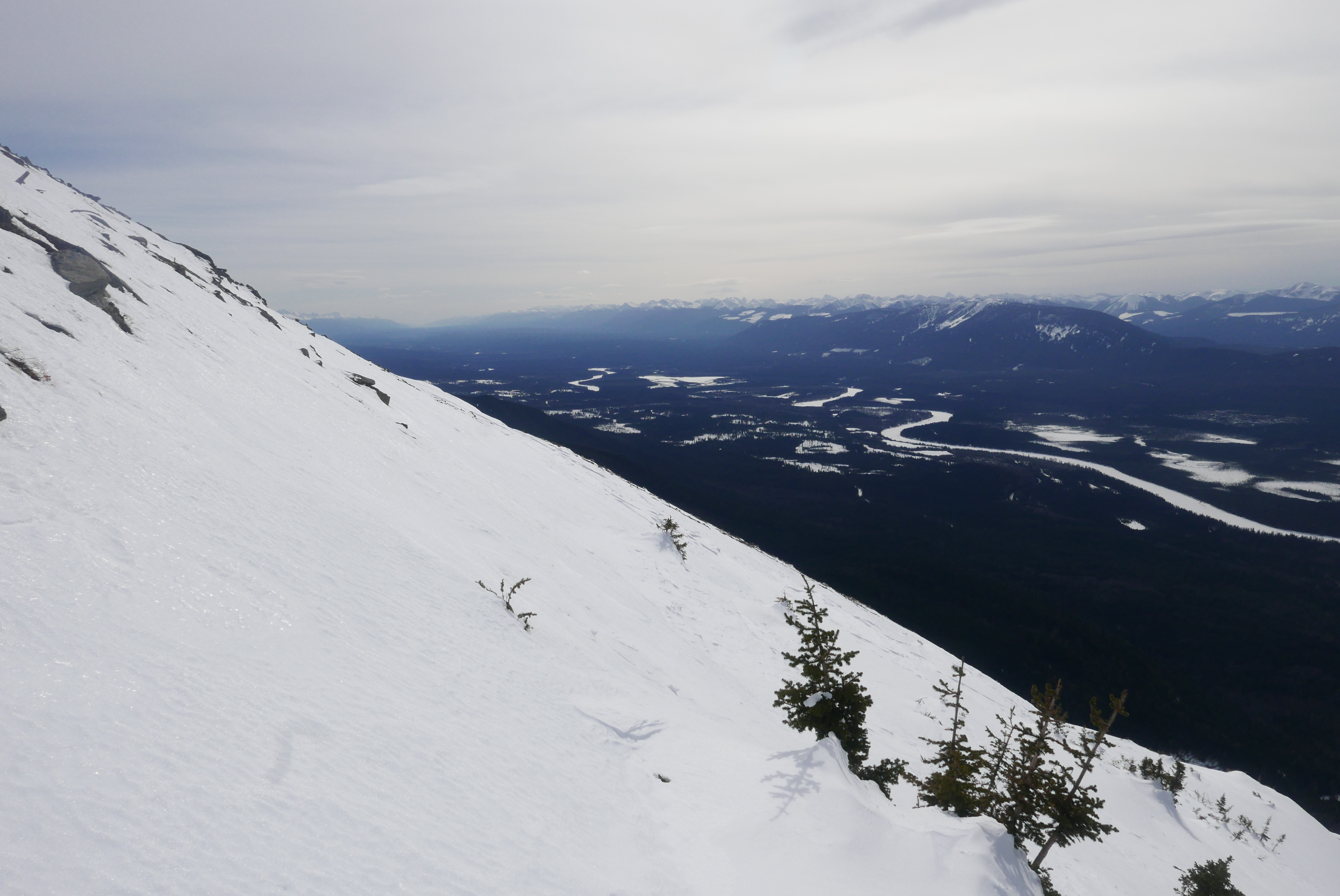
The hard part about this mountain is the approach. The only option is to climb to the Longworth Lookout and traverse to the northwest ridge of Baldy, but that’s probably more than 20 km (one way!) and would likely be a multi-day trip. Otherwise, you can approach from the south and have a guaranteed bushwhack.
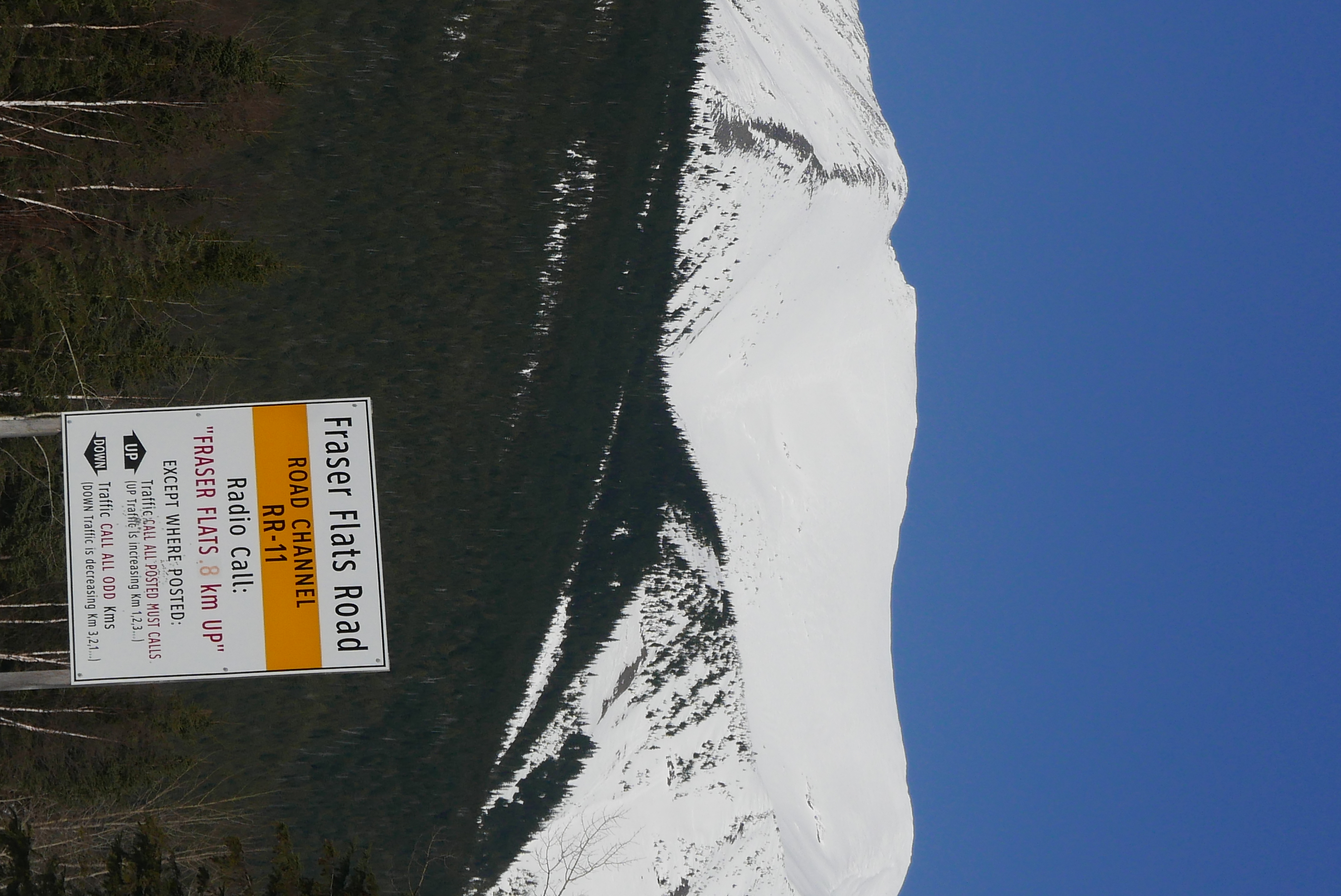
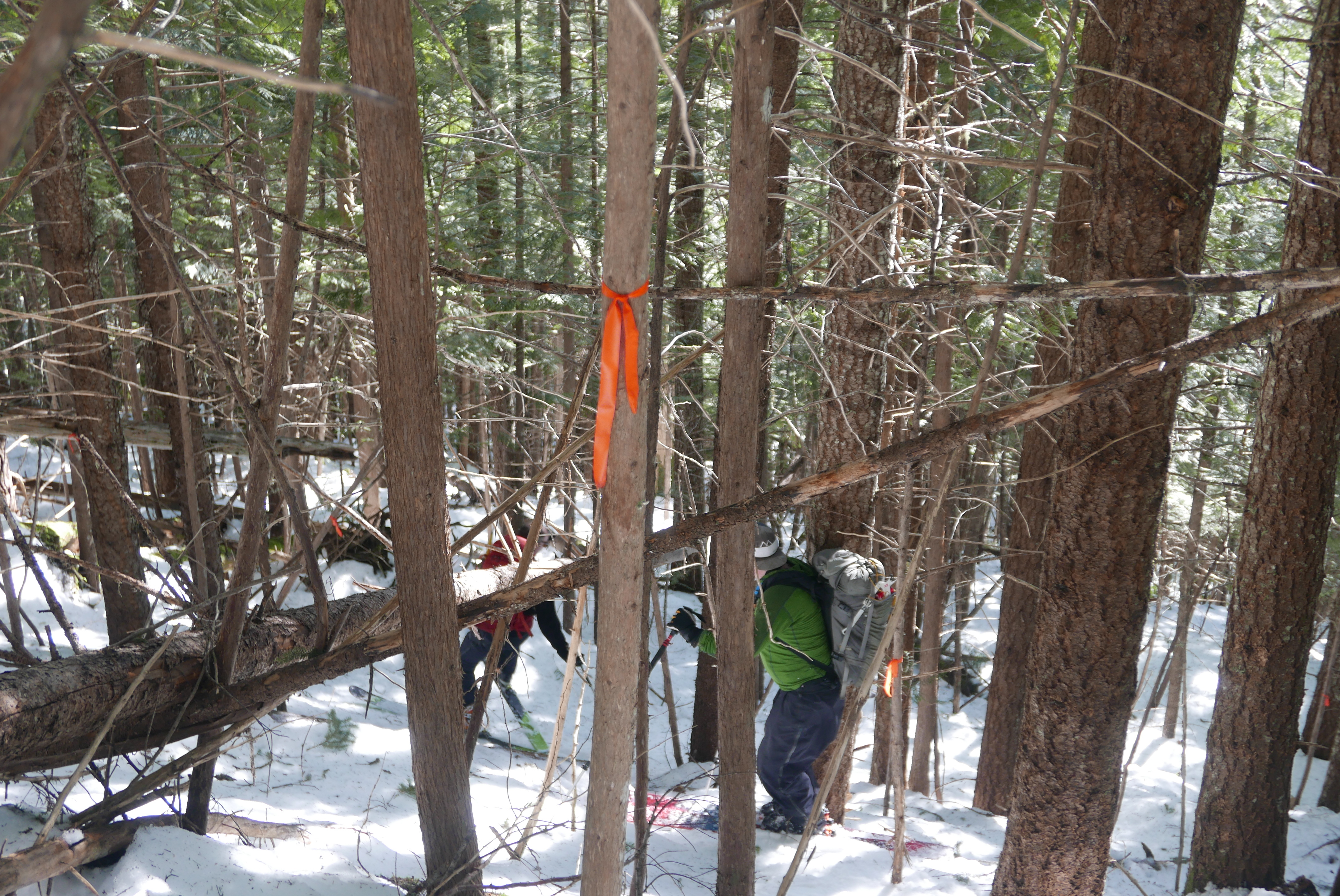
Thankfully, there is a flagged route to get from the Fraser Flats FSR up to the alpine. The flagging is clear and easy to follow, and the forest varies from easy travelling to very steep icy conditions through tight trees. Nevertheless, following flagging tape and trail markers has a subtle effect on the subconscious of not worrying too much about navigation – trust the flagging!
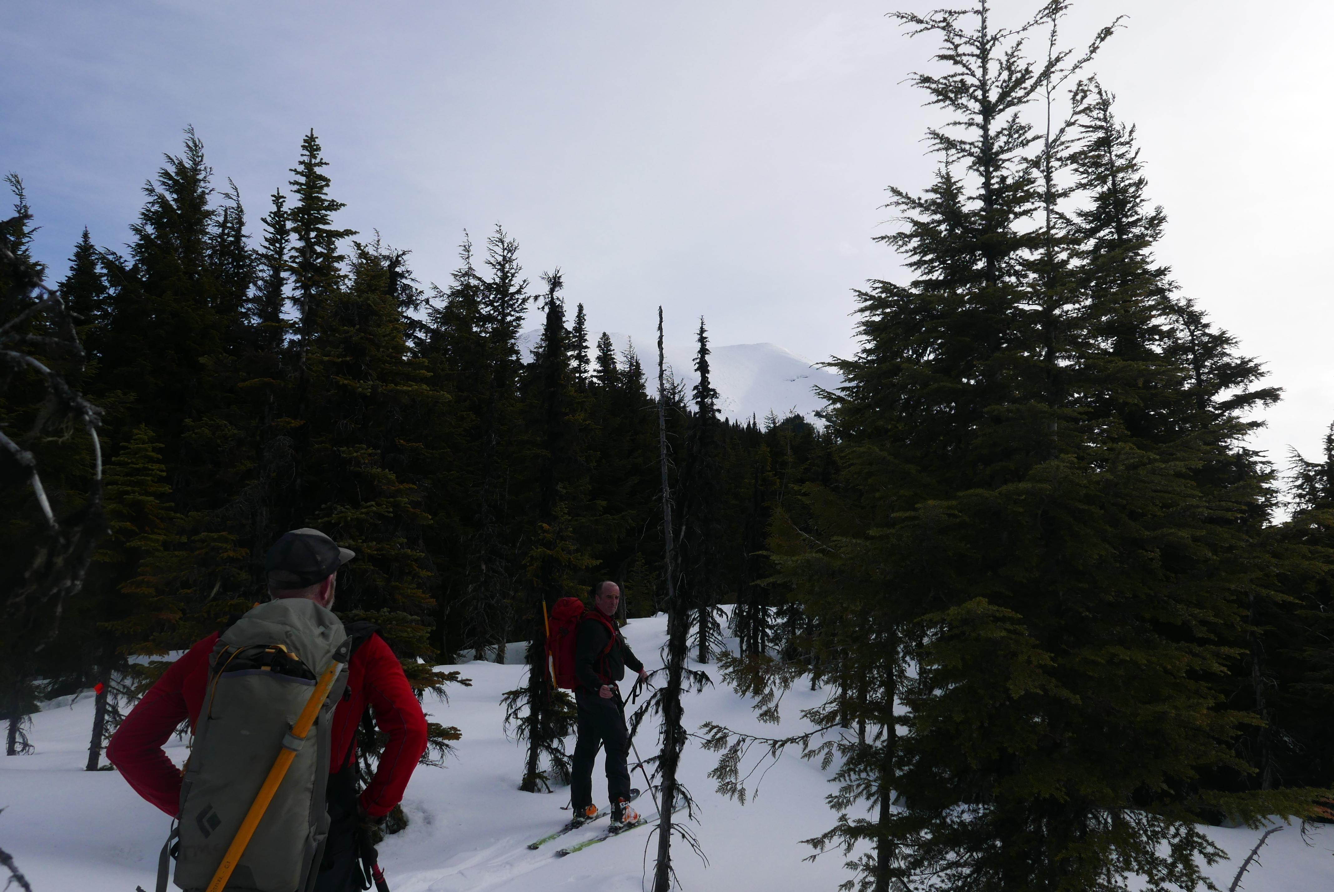
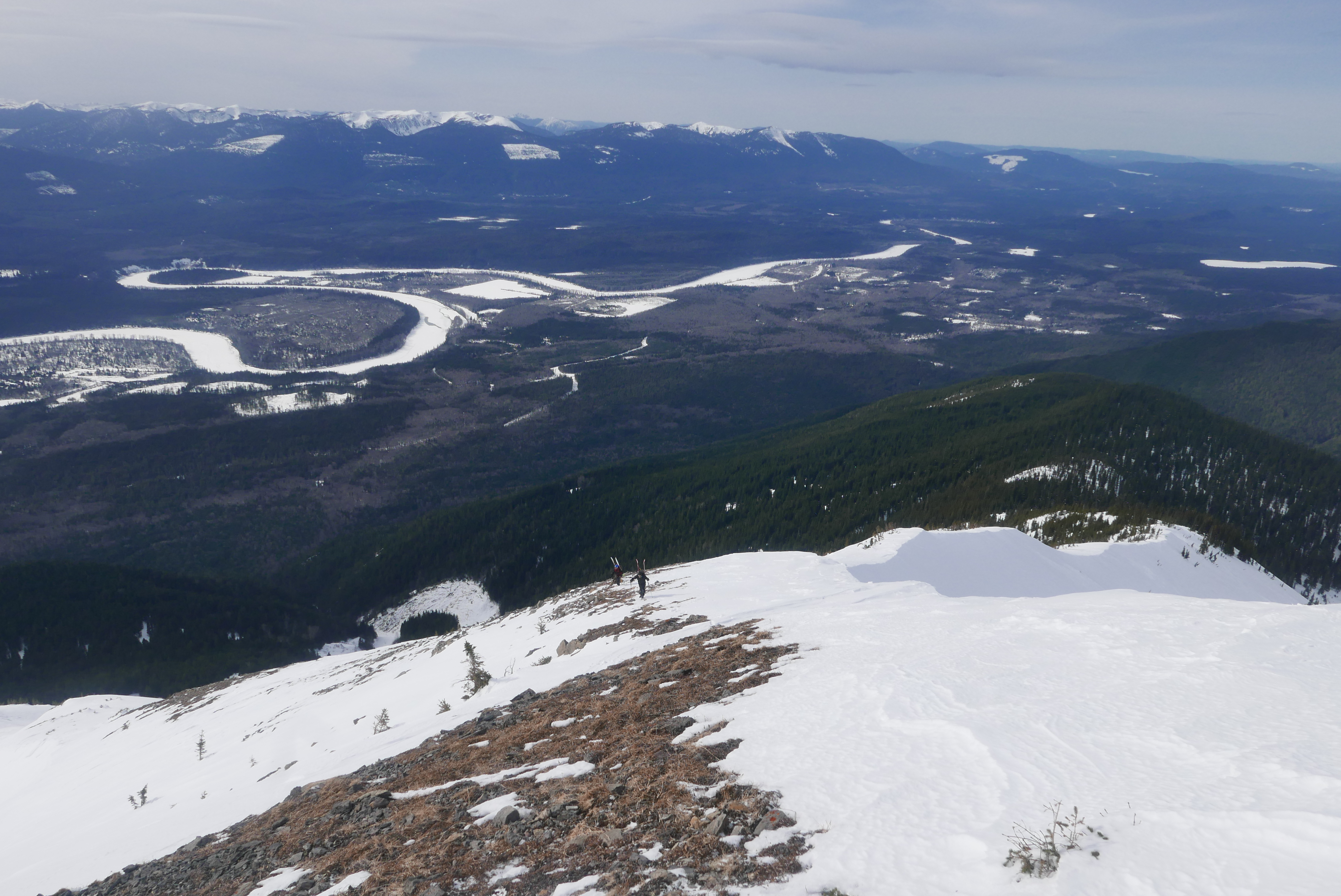
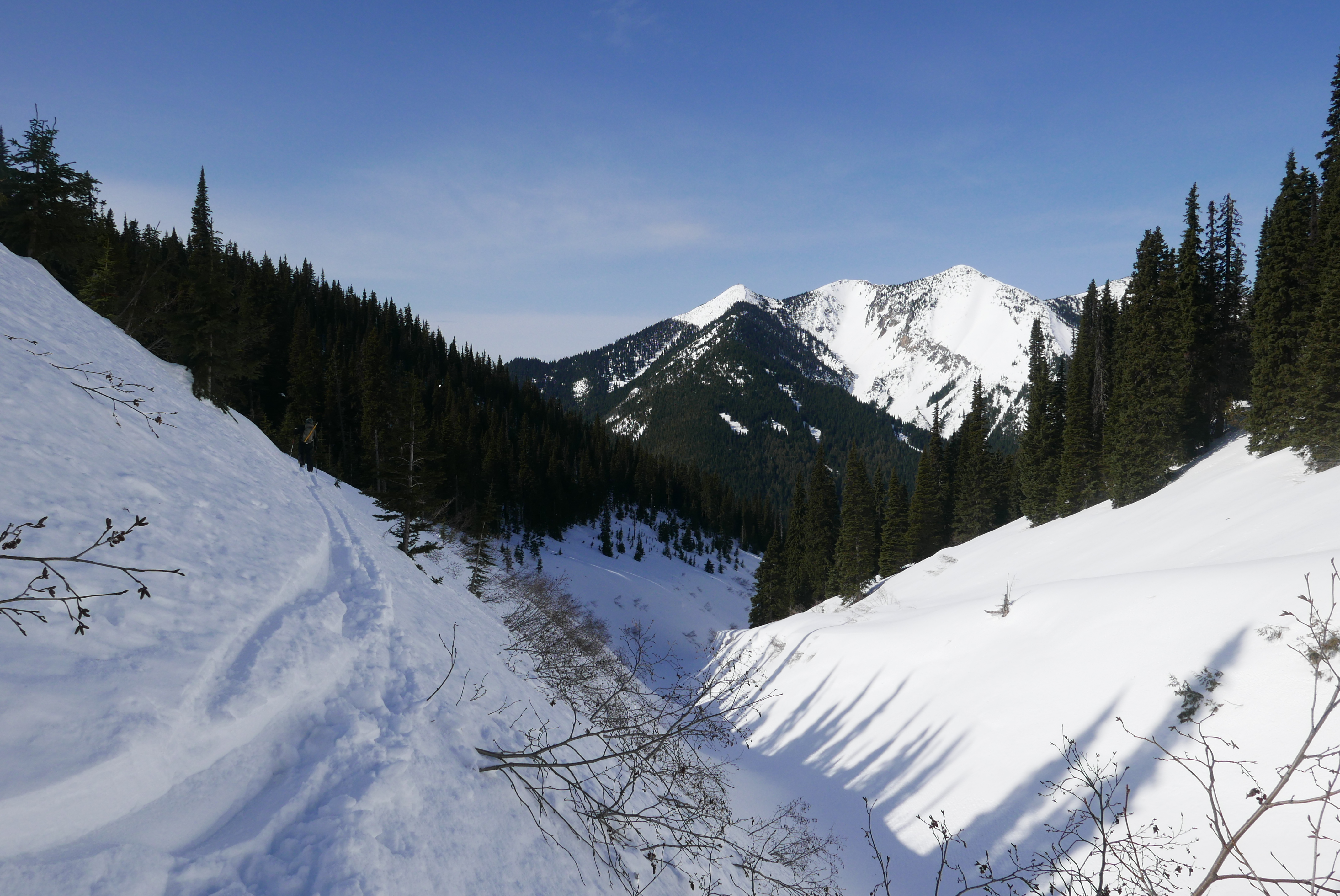
There are two benches to get on top of and some of them forced us to posthole through shmooey shnow and waste a good amount of energy. Once we got to the forested portion of the ridge it was easy travelling with views of the Cariboos, Baldy up close, and Longworth behind us.
The main challenge of waking up at 4:30 am and leaving the house at 5 am is to not wake up the kids! Or else I’d have to get them back to sleep before leaving for the day and would have no time to make coffee. Other challenges: making coffee while cross eyed and psyching myself into a pre-trip bowel movement in the comfort of my home! We met at Mr. G’s and made our way to the start of the unplowed Fraser Flats FSR.
Trevor was the president of the PGBRS some years back and Alex and Hardy are current directors of the PGBRS. It was awesome to chat about new and past PGBRS projects: cabin proposals, cabin renovations, trail history, non-motorized advocacy, cabin fever events, and the merits of different cabin booking systems – and there was a healthy amount of sarcasm, too – “out with the old – in with the new!”.
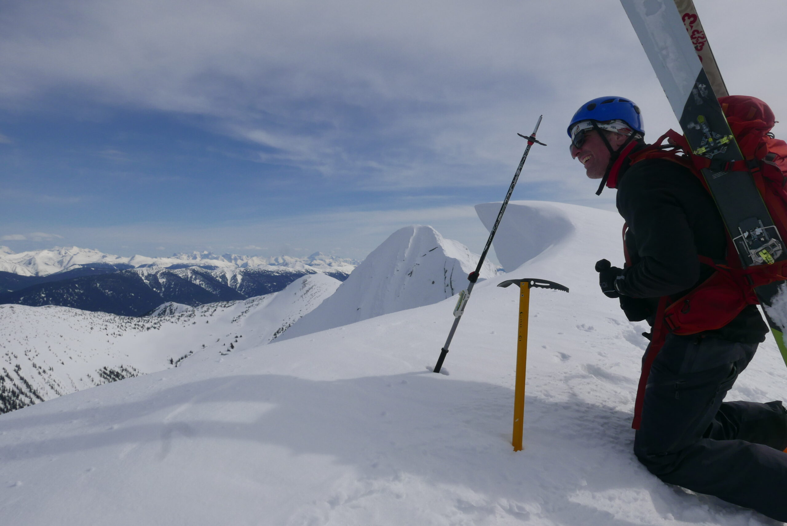
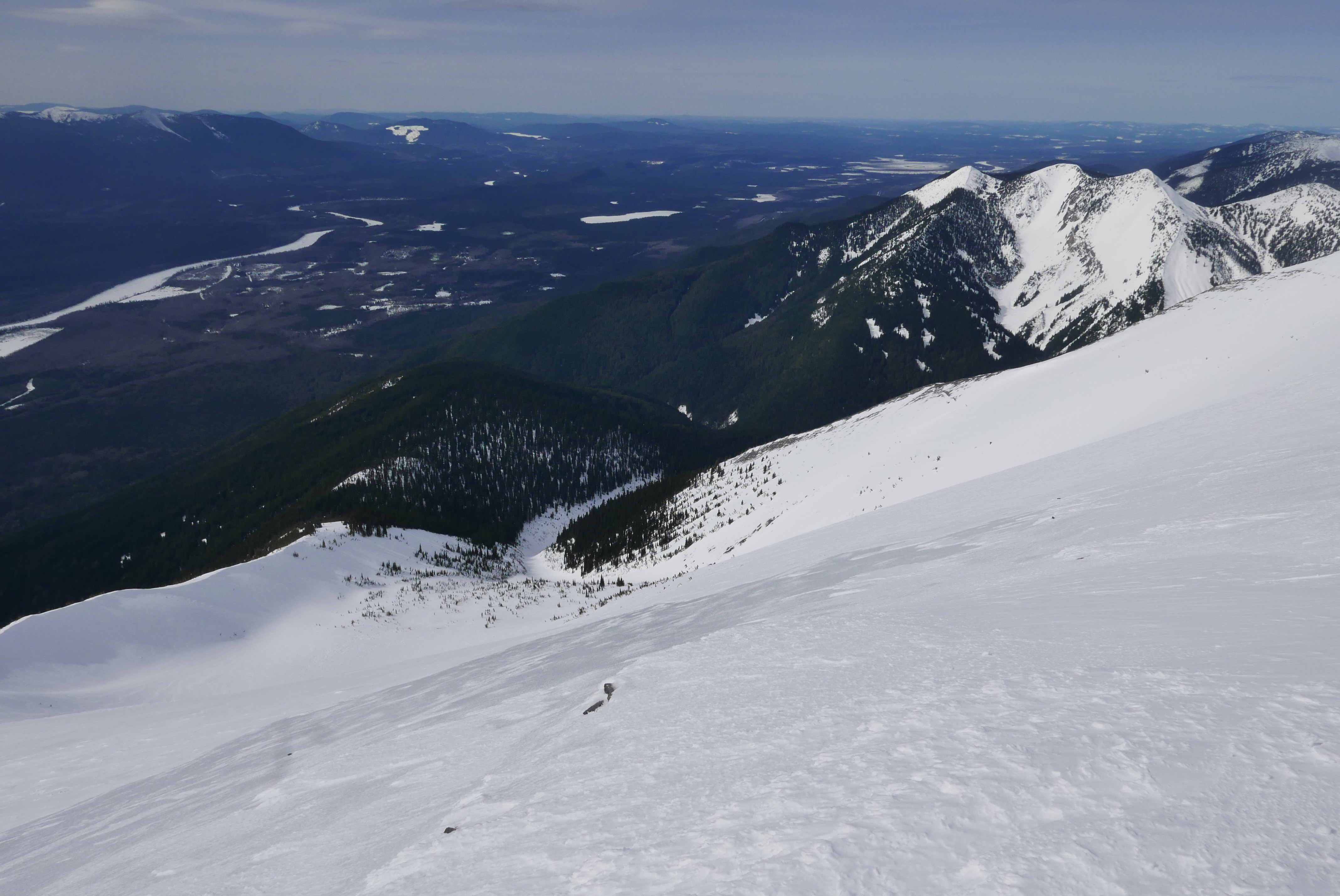
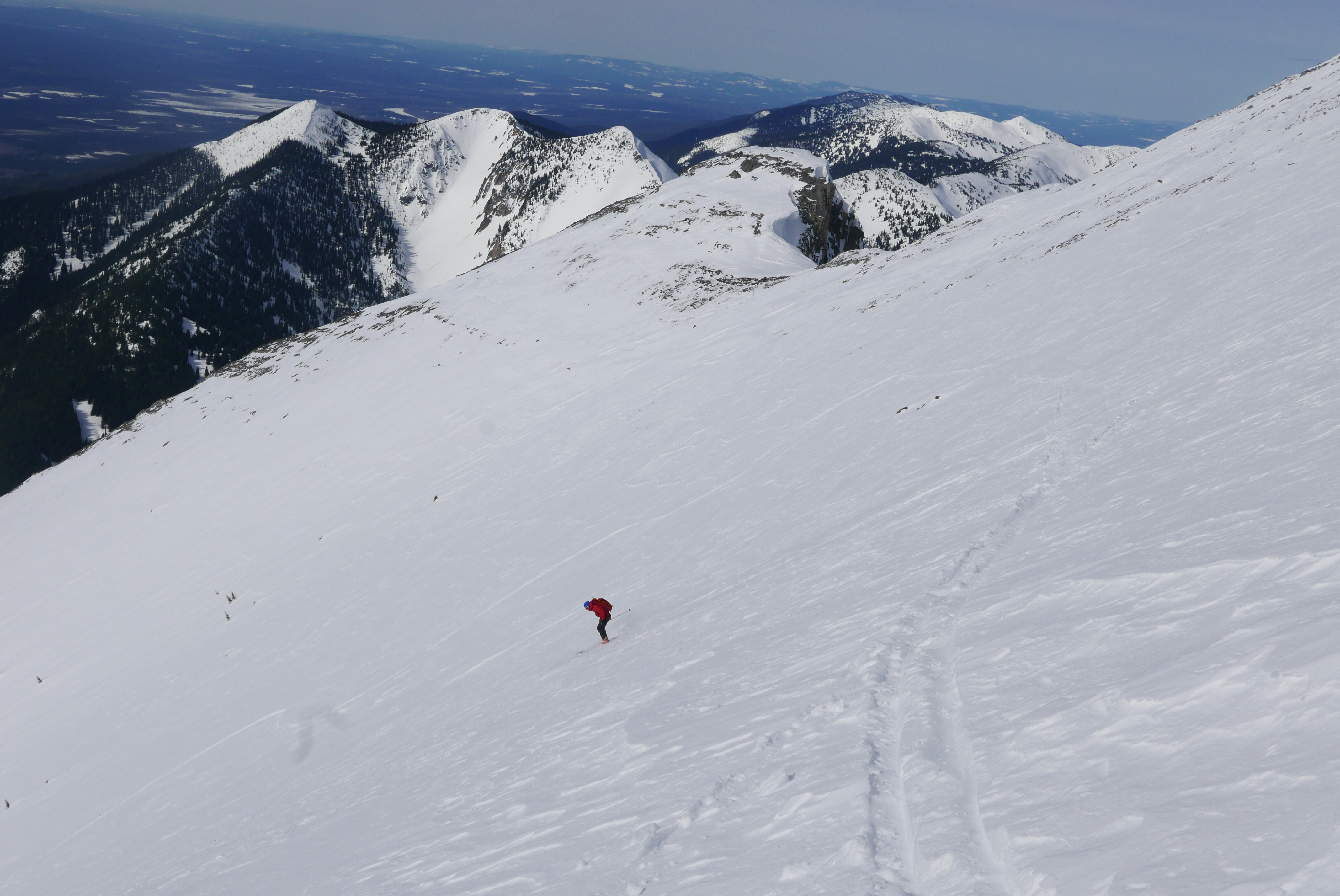
The last ridge to get up the mountain was too steep to ski. Hardy and Trevor tried their ski crampons for a bit and then the whole group opted to bootpack with skis strapped to our packs, helmets on, and ice axes in hand. Looking down the south side of the mountain, there are some monster avalanche paths that looked like they’ve been busy destroying everything in their path in recent years; and looking north into the west-facing bowl there is a pretty big face to slide down if we were to slip.
We took our time – with a few “guides pace” or “dad pace” jokes and we all felt very safe with good footings. The ice axes were very nice to have, essential I’d say. The last 20 m or so were quite icy with the worst footings of the whole route. We made it through just fine with many hard kicks into the ice.
Is the valley north-south or east-west? There are two kinds of people in this world, and they are both wrong! The reality is that the valley runs northwest to southeast! Most people have it in their heads that the slopes in the Rockies that face the Fraser river are either south-facing or west-facing. It is a shame when long-time friends discover they are incompatible personality types!
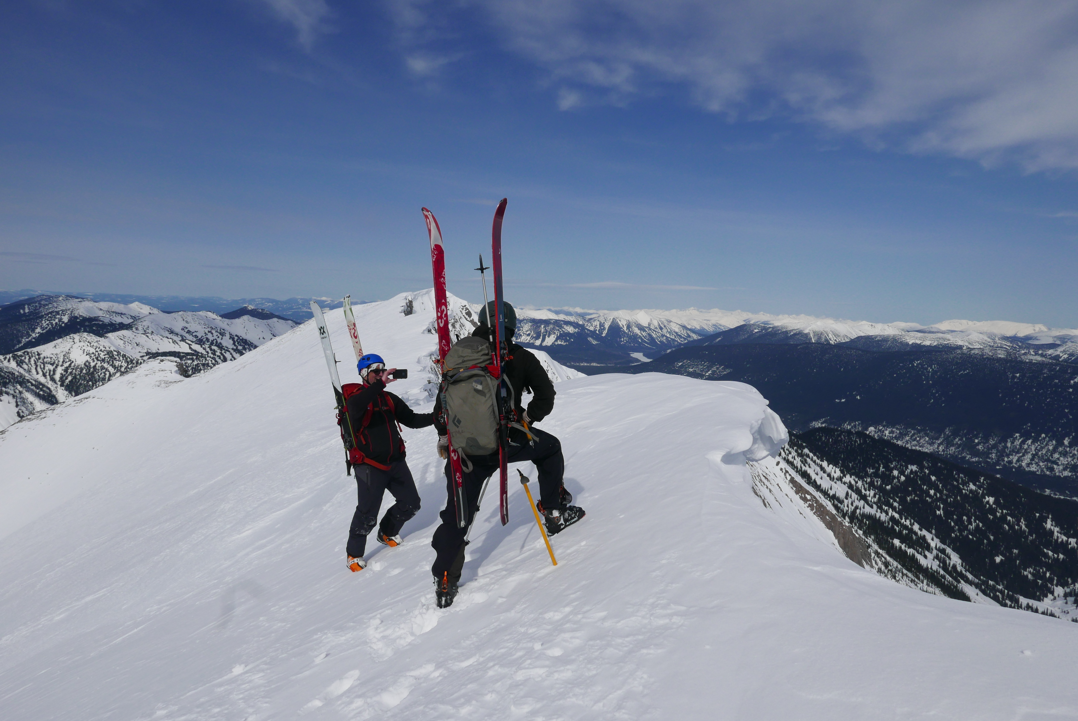
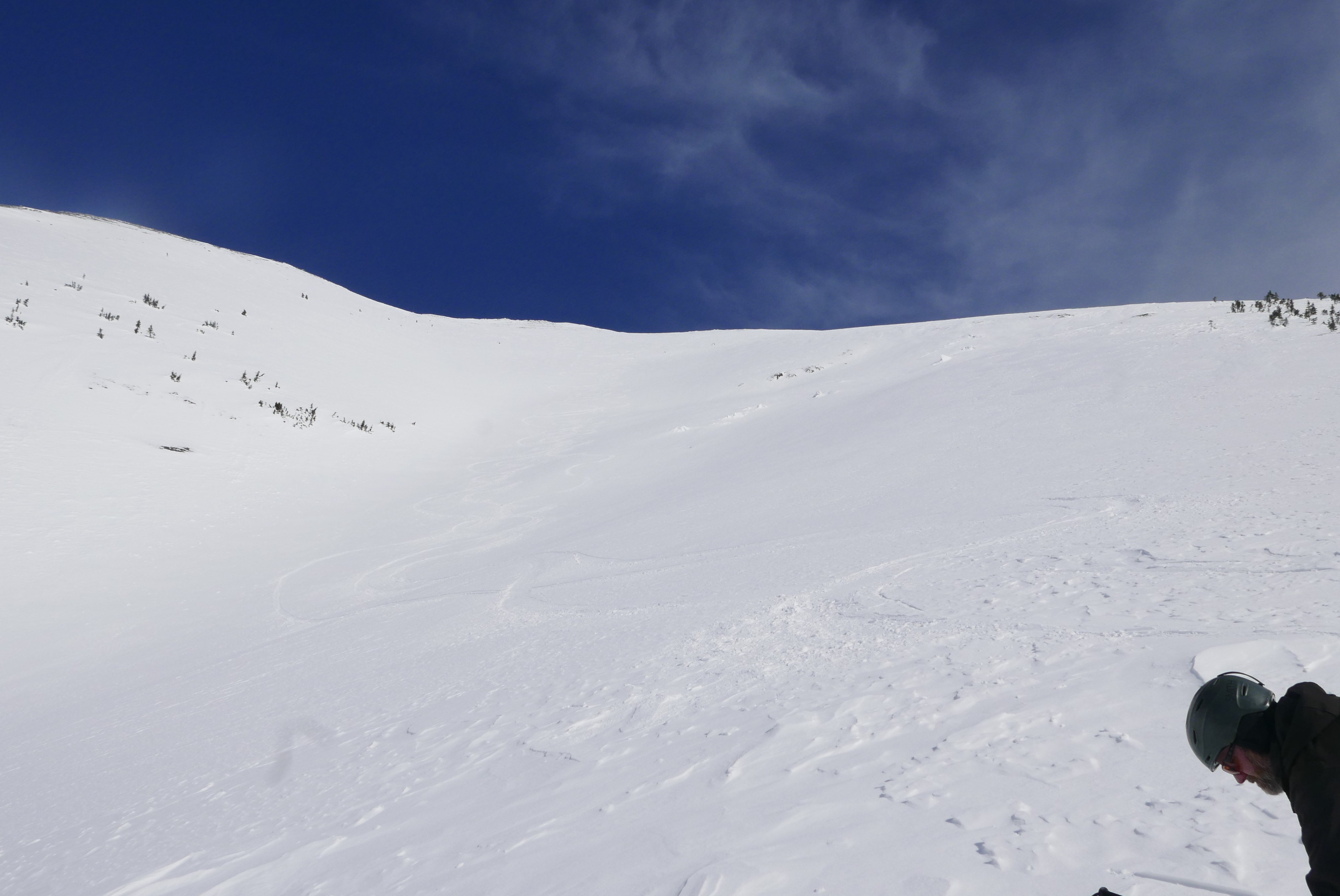
Before taking our skis off our packs we enjoyed a few windy minutes at the top of the ridge, we opted to not visit either summit – and we are still debating which one is taller. Google says NW, but the SE looks pretty hardcore. Cornices were huge and quite gnarly looking. We probed with our ice axes to stay on the rock. None of the dads felt like taking the express route to the north bowl!

Of the two summits, the NW summit would have been a steep icy walk and the SE summit would have been full-on roped up mountaineering I suspect, Google Earth does not do it justice.
We ripped the skins and skied the stable crust that had softened a little bit in the sun. Trevor and Hardy rocked the ski and sheltered in some trees before the valley gets narrow. I skied it pretty slow – with my mind playing some tricks on me, I got nervous! Once at the bottom we looked up at the mountain and Trevor was pissed that my line crossed his and ruined his mountain art! Classic faux pas!
The ski out was awesome! Alder bashing is for wimps. Hemlock and cedar bashing is where it’s at! We did our best to follow the flagged route out and when all was said and done, it wasn’t that bad! ~Six hours to get to the summit and ~two hours out. We debated a second lap of the bowl but we all got home for dinner instead.
The flagged route is an awesome way to get to Baldy and I highly recommend checking it out (GPS in hand) in the spring or summer, depending on snow conditions of course! It was pretty cool to see our lines from the road at the end of the day. Good times!